Every opportunity for creating new green spaces in the city is vital to make our urban environments more livable.
The new pocket park called Nita McCrae Park has been brought to life by the removal of a bus stop and turning circle - transforming road asphalt to green space.

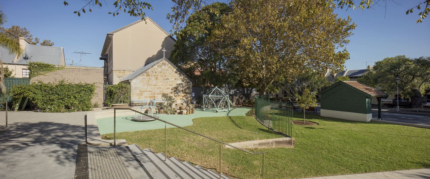
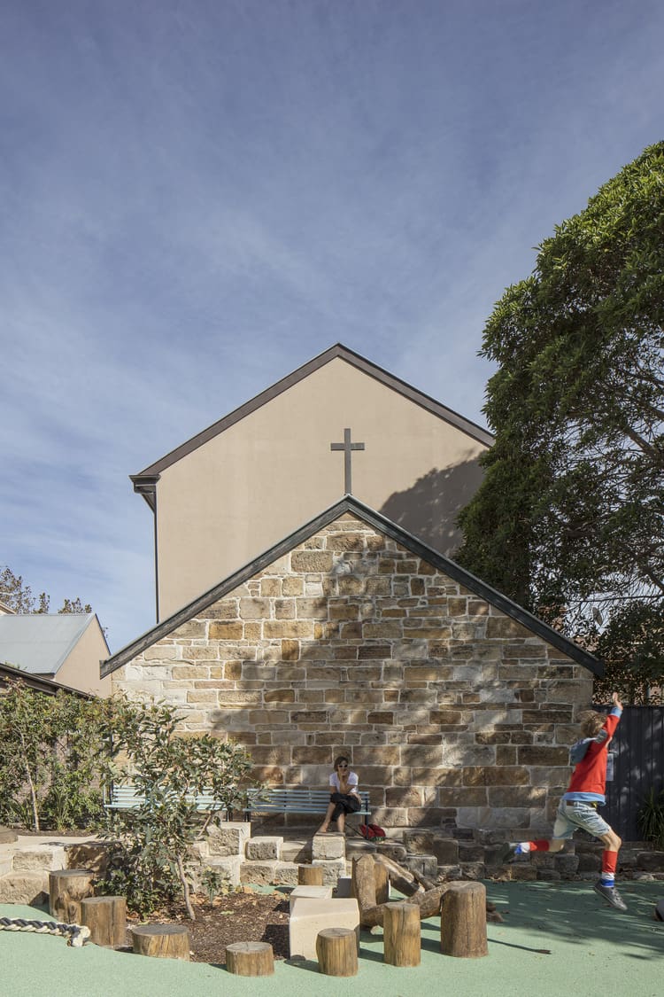
The pocket park and renewed Community Centre forecourt area includes seating terrace, grassed area and small bespoke play space which is used by visitors to the community centre, local residents, and people passing through the area. The park provides a new small but important area of green open space in Millers Point.
Working with heritage consultants and the City of Sydney, the significant heritage values of the area have been used to inform the design of the park. The former tram turning circle (and later bus layover area) is marked with retained remnants of a sandstone kerb in the pavement and turf area. The heritage listed tram shelter was relocated from the former kerb line to the new footpath alignment, so it could retain its function as a shelter at the new bus stop location.
Through the linking of park green space, tree planting, widened footpaths and new shared zone, Argyle Street has changed focus to a more pedestrian friendly environment and a key east-west connection between Circular Quay and the new Headland Park at Barangaroo
Argyle Street is the primary east-west connection between Circular Quay and the new Headland Park at Barangaroo. The Argyle Street Upgrade project improves amenity for pedestrians in the area through improvements to the streetscape with footpath widening and a new shared zone at Watson Road. The Watson Road Shared Zone is important as it has become the key entry point to the Community Centre in the reconfigured forecourt.
The focus of the project was the removal of a bus layover / turning circle and utilisation of land to create a new pocket park, now called Nita McCrae Park. The combined pocket Park and renewed Community Centre forecourt area includes seating terrace, grassed area and small bespoke play space which is used by visitors to the community centre, local residents, and people passing through the area. The Park provides a new small but important area of green open space in Millers Point.
A key challenge for the project was achieving a design outcome which respects the heritage significance of the area. The former tram turning circle (and later bus layover area) is marked with retained remnants of a sandstone kerb in the pavement and turf area. The heritage listed tram shelter was relocated from the former kerb line to the new footpath alignment, so it could retain its function as a shelter at the new bus stop location.
