Enhancing a key community destination in Sydney's Inner West to create an engaging recreational corridor that integrates paths and cycleways within an urban setting.
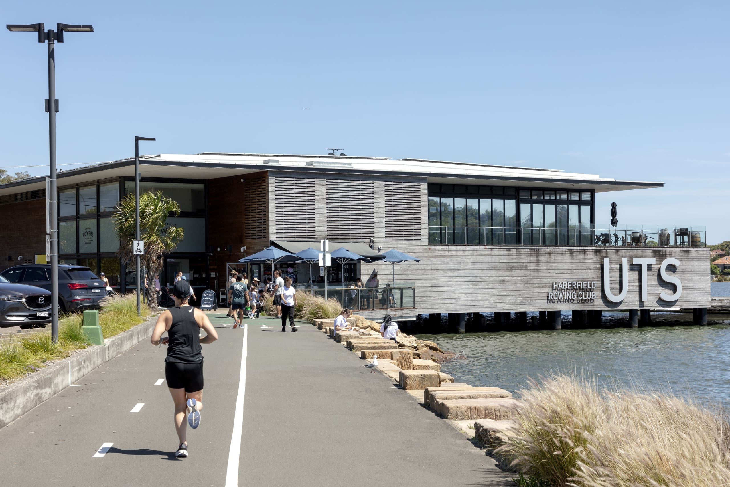
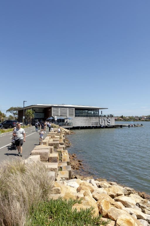
GroupGSA’s Landscape Architecture team was engaged to provide design and documentation of a key 450m portion of the Bay Run’s shared path and cycle link from the UTS Rowing Club to the GreenWay Connection and across the Lilyfield Bridge in Haberfield.
The Bay Run is a scenic 7km loop trail around the stunning Iron Cove Bay, located in Drummoyne, Five Dock and Lilyfield, 9km West of the Sydney CBD. With picturesque water views, this recreational precinct is popular with families, walkers, runners, cyclists, and bird watchers.
The $5m upgrade was delivered by Inner West Council with funding assistance from the NSW Government. The brief involved upgrading three sections of the trail to create an engaging recreational corridor that integrates the path and cycleway within an urban and park setting.
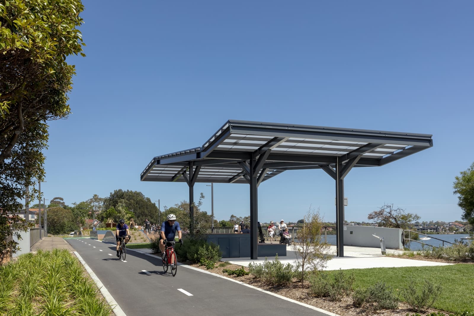
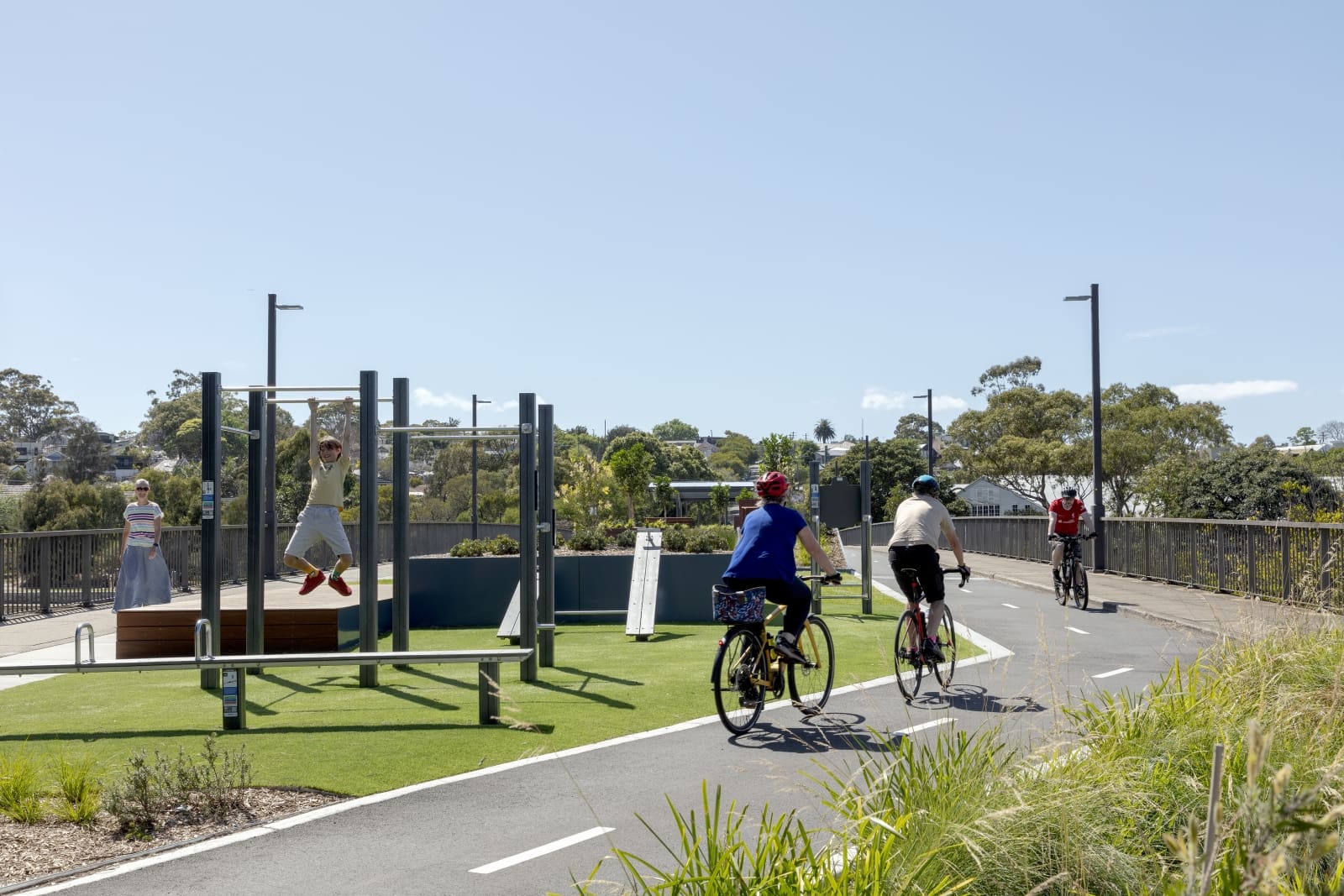
The Lilyfield Bridge upgrade is a focus of the project, delivering the most benefit for community activation. The upgrade has transformed the bridge from an underutilised and exposed linear space to include a realigned path and cycleway, a new fitness hub, picnic and shade shelter, multiple opportunities to sit and gather, and a bicycle service station.
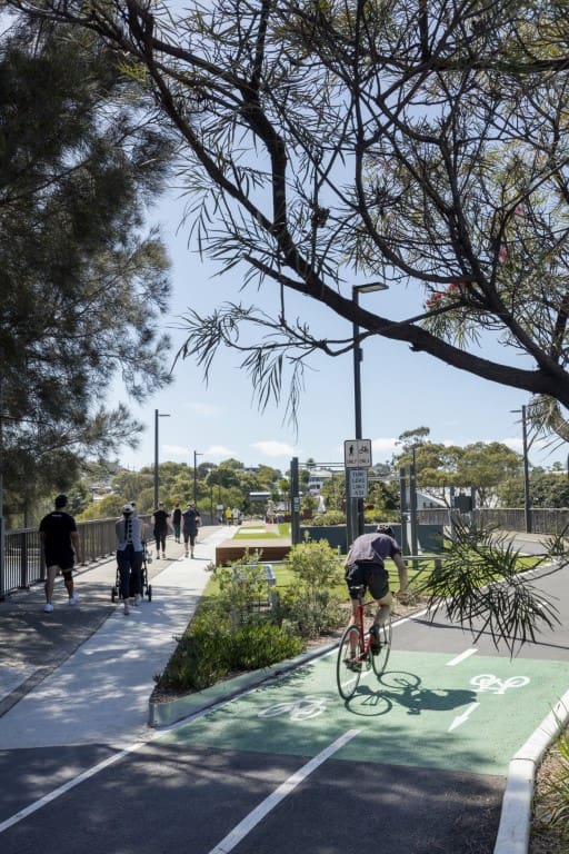
The team considered the flow of traffic across the bridge and the safety of its users by separating pedestrians and cyclists with a central corridor activated along the length of the bridge.
The central space is defined with a series of timber decks and terraces which allow people to sit and enjoy the setting, with views over the Bay. As a connecting node between the Bay Run and GreenWay, the Lilyfield Bridge creates a place to meet and pause before continuing for the larger recreation circuit.
The large shade structure and paved terrace creates a sheltered location for gatherings and small events.
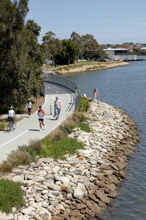
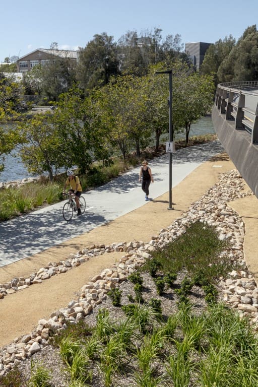
The Bay Run Upgrades include the rebuilding of pathways and elevated walkway along Dobroyd Parade from the UTS Rowing Club to the Greenway Connection at the mouth of the Hawthorne Canal. Works include path upgrades and line marking for pedestrians and cyclists, viewing, and gathering precincts on the water, sea wall upgrades, and water edge design to enhance the outlook over the water.
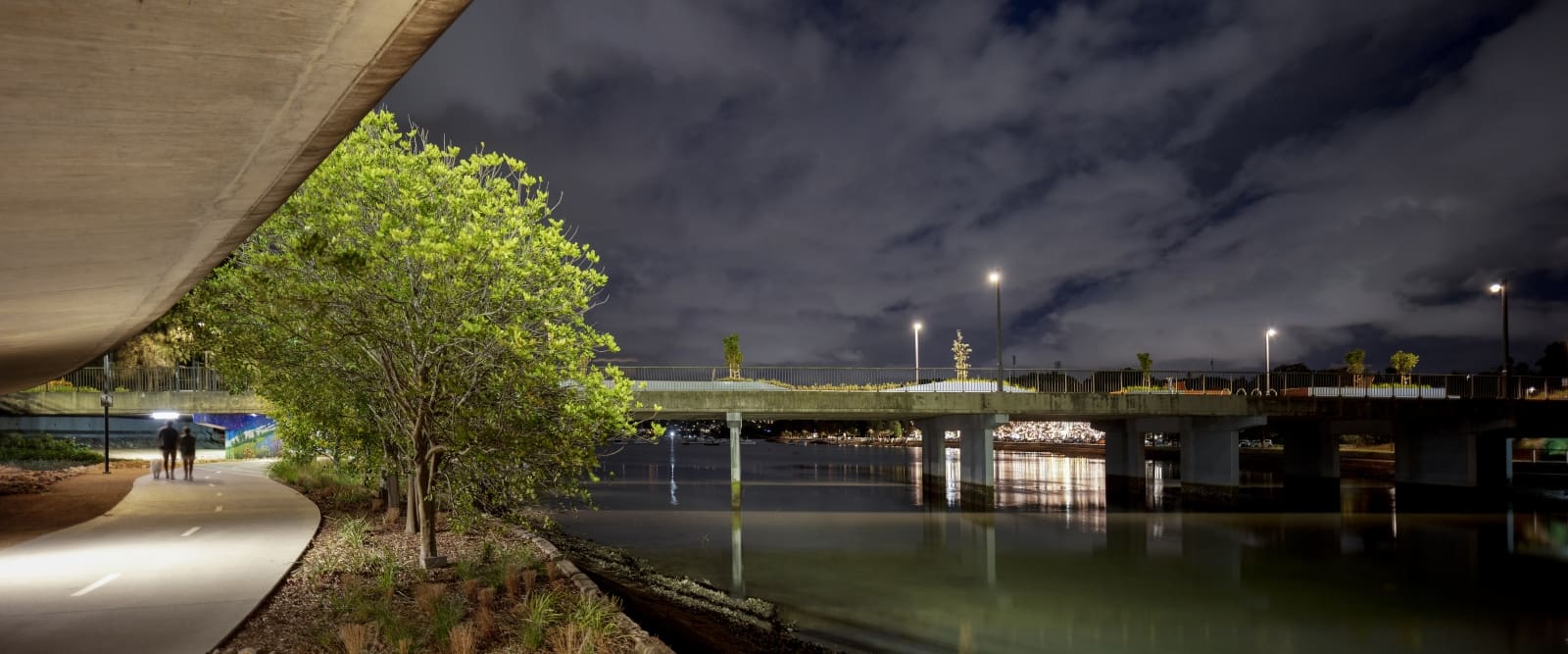
These enhancements join into the GreenWay connection to create a safer, accessible, more inviting pathway from the Bay Run, under the Lilyfield Bridge and along the Hawthorne Canal. In addition to the path enhancements, new foreshore lighting was extended under the bridge to ensure the path is safer for use after dark. As a total project outcome, the Bay Run and GreenWay form an interconnected linear open space network connecting from Sydney Harbour to the Cooks River.
